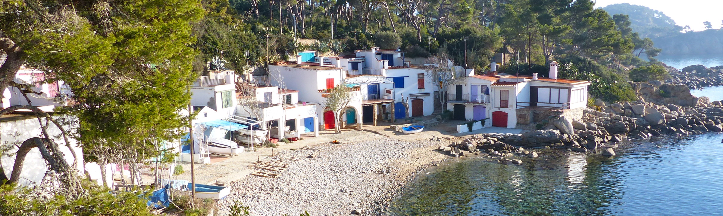
 BarcelonaWalking Barcelona Hiking Barcelona Montserrat Costa Brava Pyrenees
Carlit
Carlit hike from the Bulloses Reservoir
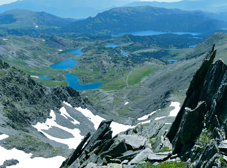
Carlit at 9.583 ft above sea level is the highest summit in the Eastern Pyrenees. It is one of the most climbed mountains into the French Pyrenees. The trail enters into a great beauty of the environment and an idyllic landscape. Along the way, you will cross ten small lakes of glacial origin.
Suggested Day hike: Round trip to the Carlit top: 10 miles ; with 3.116 ft ascent and descent. Altitude from 6.614 ft to 9.583 ft.
Itinerary
The hike consists of two different sections. The first section of this trail is a moderately easy wandering, without great elevation gain, it goes through coniferous-trees forest.
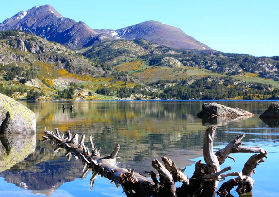
The route starts on the W side of the great reservoir of Bulloses at 6.614 ft. The trail continues through a lake zone, near Viver and Sec lakes. The trail enters Llat lake area at 7.152 ft. Here you will enjoy scenic views along these firsts miles.
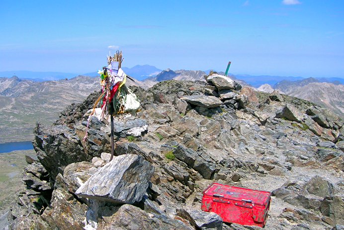
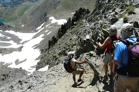
Another second part of the trail has much more slopes. The trail leaves Sobirà lake on the right. Then it reaches the right side of the Tossal Colomer before climbing up the Colomer gap at 8.562 ft. The trail passes the Sobirà ice-lake before rock-climbing the great rocky-edge. On the top of Carlit summit at 9.583 ft, hikers have ascended 3.116 ft from the Bullosses reservoir.
On the Carlit summit you see spectacular views. Towards the Nord-est there is the Peric peack, to the E the Canigo, to the SE Font-romeu village and the Puigmal, to the S Cerdaña valley and Tossa hill, and to the West the Pass de la Casa and the Envalira peak. It is time to shoot gorgeous photographs, to take a breather and enjoy surroundings.
Return from Carlit
Return is a hike down on the same path, cross the lake of Dugues at 7.349 ft It is 4:15 hours of your schedule. But, if you prefer a long way, you will take a deviation close to Sobirà lake towards Trebens lake and then to the Castellar lake in order to join Dugues lake path.
There is another interesting and longer option, once you are in the Colomer pass, you hike down cross the Coma of Forats towards the Carlit desert. There is a great plateau with little vegetation, there the trail continues towards the Llat and Sec lakes where you merge to the hiking-up path.
In summer and spring, the difficulty level is intermediate. In the second half of the hike, there are hard slopes. You will have to rock-climb some steps along the rocky edge before crowning the summit. Therefore, hiker should be in a good physical condition.
Recommended seasons for this hike are summer and spring. In autumn or winter, it is a ski-mountaineering or snowshoeing activity.
Gear
Mountain boots, wind stopper jacket, protective cream, sunglasses, It is advisable to wear crampons and ice ax, since early spring in the Carlit there is usually a snowfield in the shady areas and channels. We also recommend you to bring some food and water.