 BarcelonaWalking Barcelona Hiking Barcelona Montserrat Costa Brava Pyrenees
Puigmal
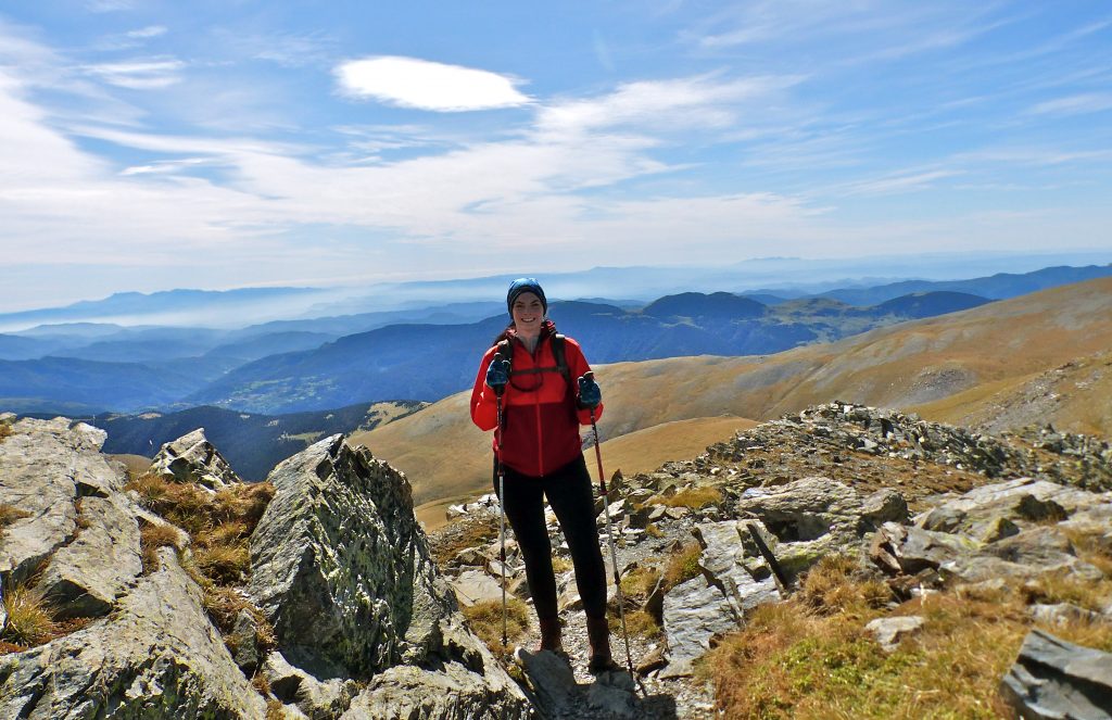
Puigmal hike in the Pyrenees from the gap “Col de les Barraques”.
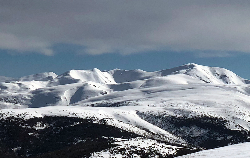
Puigmal mountain (9,546 ft above sea level) also called Puigmal de Er is an emblematic peak in the Cerdanya valley. It is the second highest mountain in the Eastern Pyrenees, located in the Spanish-French border.
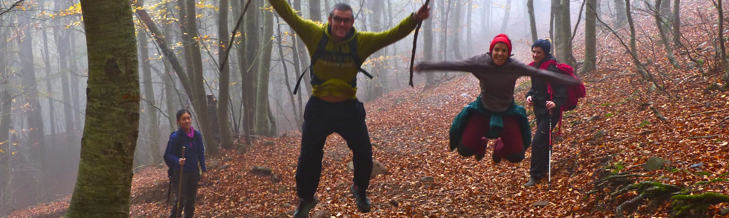
Hiking in the Pyrenees is one of the best activities. It is a walking activity a long a variety of landscapes. Pyrenees become an icon of nature and local history known throughout the world. When you hike this route, you will enjoy the geology of the mountain, its uniqueness will captivate you, and you will admire many summits where local mountaineers expend long hours training and hiking.
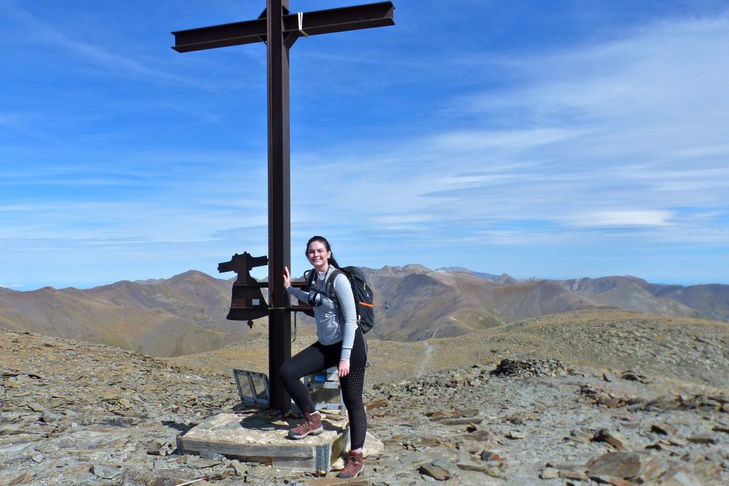
El Puigmal is the highest mountain of the peaks group called Great Pot surrounding the Nuria Valley. This mountain has a wide top. The ascent is easy if you find there good weather conditions. On the top there is a big iron cross and a signpost with a Jacint Verdaguer poem. This easy hike could represents an alpine challenge in winter or stromy days.
Hike duration: 6h; Elevation gain: 3,937 ft; Difficulty: Difficult, it is an easy but long hike, It is scheduled just for poeple with hiking experty. This activity requires a good physical condition. On foggy, raining or ice days the difficulty will increase dramatically.
Itinerary.
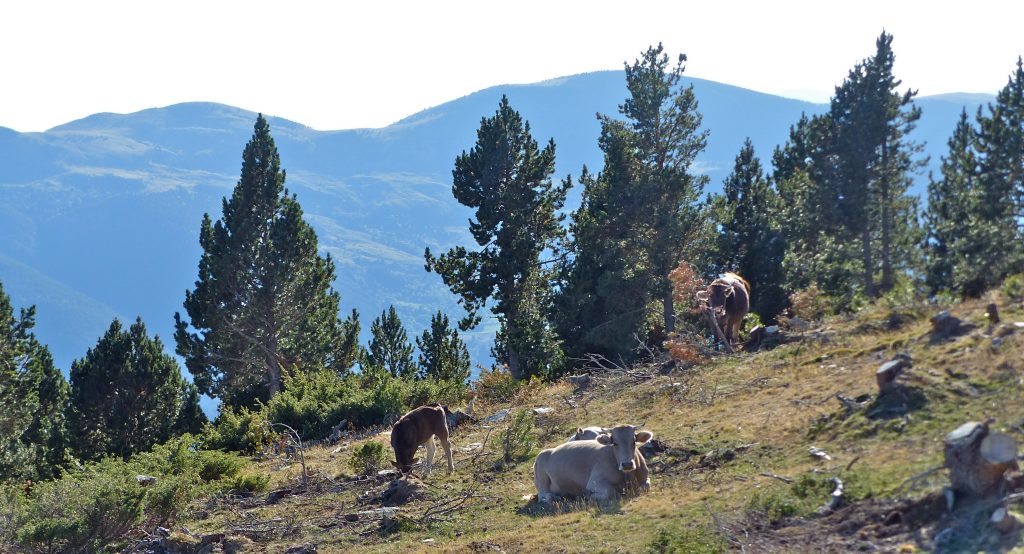
Fist of all, in Ribes de Fresser two hours driving from Barcelona, you can charge energy at the outdoor sports bar. Then let’s go to Planoles village where you take a deviation to the gap “Collet de les Barraques“ 6,108 ft, there you have the Puigmal towards N. You start hiking following the cattle fence, towards the NW, along the pine and fir forest. Thus you climb to a clear field called the Roc Blanc.
While you are following the trail, you reach the tree line and you get the Ventolanesos plain, with the Vacarissa or Estremera slopes in front of you. Go ahead climbing, heading N. You cross the Teixidor hut. Then you hike without leaving the NW direction untill the path turns towards N and reaches the gap of Queralps or Pas dels Lladres 8,303 ft (Thiefs pass).
You leave the Pic de la Dòrria 8,343 ft on the left hand. You ascent a slope and you reach a hill called Tossa del Pas dels Lladres 8,733 ft, This is the highest point of the france’s ski-field “Cerdagne-Puigmal 2900”, from this spot, the wide path becomes a narrow trail. Here the route starts its last section of the ascent to the Puigmal.
You should go back to the ridge towards E, progressing along the edge until you reach another gap Coll de les Clotes 8,638 ft. The path goes througout some yards in French country. You gain altitude quickly and reaching the subpeak located at 9,265 ft , from here you will reach the peak of Puigmal 9,546 ft following the border line with magnificent views. You spent about three hours from the gap of Barraques.
To return, you can hike back on the same route but if you prefer to make a long circle. You will descend cross the hill Cim de la Dou and then to Fontalba, from this spot you follow the path GR 11.8 untill to the gap Coll de Barraques. This second option will extend the hike time a couple of hours more.
Gear
Mountain boots, mountain clothing according to weather forecasts, windstopper jacket , trek poles, sunglasses, suncream and gloves. Please bring some food and water.